111582366572

Mungili Waterhole
“No one goes there and sees that landscape. Only two, Mr and Mrs [refers to footsteps in painting]. They was walking to see if the water was in there. Walking on the creek sand, they see the colours and walk down to the water hole and dig where the waters been left. Dig the creek sand where there is still water. Little huts where they sit; move when it dries out. Leave remembrance behind. When the water fills up again; come back.
When the creek sand is still moist you can see the colours. You can see many colours – lovely colours come out. I do that in my mind [when painting], go and think about the rock colours there.
Different plants, water runs, and different plants are growing, different seeds. When it rains, all year round, when its overflowing. It’s all connected. The orange sand connects to one waterhole full of water, then flowing through the creek sand. This side down [pointing to one rock hole]; and it’s a bit up [pointing to another rock hole].
I was swimming there. Yeah, we go visit them a long time [ago]. We drink it, rainwater from the rain. Big waterhole. It’s a fresh water, when the rain comes, fills it up. One for swimming and another rock hole for drinking. 3 rock holes; another is special.”
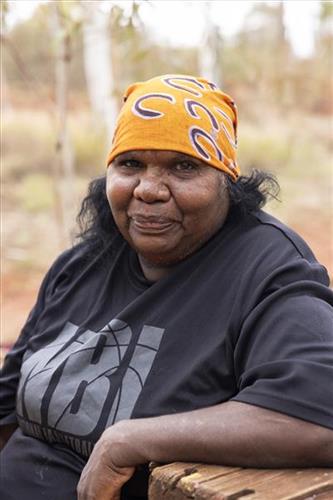
– Marlene Anderson
In this work Marlene depicts a waterhole and rock hole located in Mungili, the small outstation community located just off the Eagle Highway in Western Australia, approximately 430 kilometres northeast of Wiluna and 250 kilometres north of Warburton. Marlene grew up in Mungili, and as such it forms a significant part of her ‘ngurra’ (home Country, camp). Typically Marlene depicts this site with a central large circular form that represents the main waterhole, surrounded by smaller circular forms representing satellite water bodies.
During the pujiman (traditional, desert dwelling) period, knowledge of water sources was critical for survival, and today Martu Country is still defined in terms of the location and type of water. Each of the hundreds of claypans, rockholes, waterholes, soaks and springs found in the Martu desert homelands is known through real life experience and the recounting of Jukurrpa (Dreaming) narratives by name, location, quality and seasonal availability. This encyclopedic knowledge extends even to the nature and movement of arterial waterways, and sustained Martu as they travelled across their Country, hunting and gathering, visiting family, and fulfilling ceremonial obligations. They would traverse very large distances annually, visiting specific areas in the dry and wet season depending on the availability of water and the corresponding cycles of plant and animal life on which hunting and gathering bush tucker was reliant.