111582428773


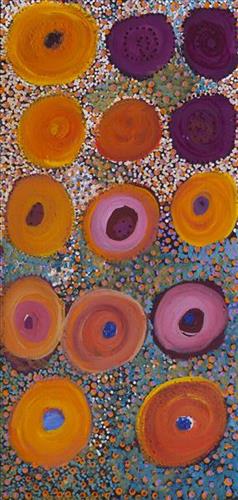
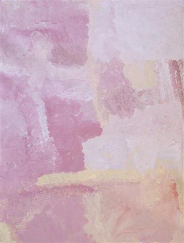
Parnngur

“We were climbing Parnngurr hill; we were frightened. Kartiya (Europeans) would walk around, trying to catch Martu people. We would run up the hill and hide. We watched them catch people. We were eating flour that white people gave us. It was horrible. From [Parnngurr rockhole], we got in the truck and went with the white people to Jigalong. Kumpaya [Girgirba], Jakayu [Biljabu] and Ngamaru [Bidu], we were all on top of the hill looking at the white people.”

– Bugai Whyoulter


Parnngurr rockhole is located 370km east of Newman. This site lies within Bugai’s ngurra (home Country, camp), the area which she knew intimately and travelled extensively with her family in her youth. For many Martu, including Bugai, Parnngurr also signifies the location at which their nomadic bush life came to an end. Poignantly described here by Bugai, it was here that a group of 29 Martu were picked up by the Native Welfare Department to be taken to Jigalong Mission in 1963. Collectively the group had come to the decision to move to the mission as a result of an extended drought, which had caused a scarcity in food and water resources. The group also wanted to join their families, who had already moved to Jigalong.

At the junction of three linguistic groups; Manyjilyjarra, Kartujarra, and Warnman, Parnngurr rockhole was a critical and permanent source of water during the pujiman (traditional, desert born) era, supporting many ritual large gatherings. During this nomadic period families stopped and camped here depending on the seasonal availability of water and the corresponding cycles of plant and animal life on which hunting and gathering bush tucker was reliant. At Parnngurr and other similarly important camp sites families would meet for a time before moving to their next destination. Parnngurr rockhole and its surrounds are physically dominated by distinctively red tali (sandhills), covered sparingly with spinifex and low lying shrub. 

Parnngurr community, just north of Parnngurr rockhole, was created during the Return to Country movement of the 1980s, coinciding with the recognition of Aboriginal land rights and native title. The community was named after its’ original primary water source. Until recently the community was widely known as Cotton Creek, after the European name for the ephemeral creek running alongside the community.

111582428792


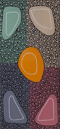
Family Groups

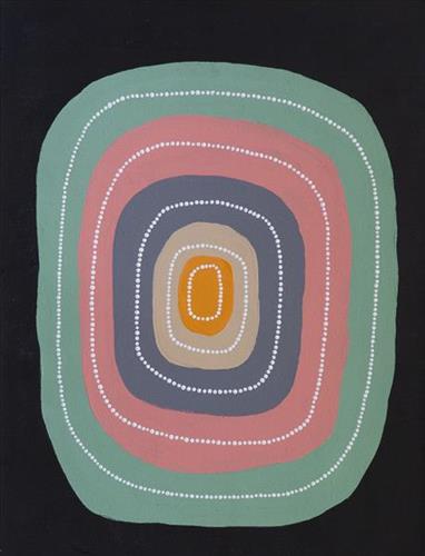
“The shapes represent the family groups from different regions.

It’s been really good, reconnecting with family and getting to know which family member is who. Getting to know my uncles, telling me about my mum that has passed away. Hearing about the stories and about my grandmother as well. Her stories, yeah, uncle Matthew tells us stories about my family. It’s nice to know where you come from, especially coming back home and connecting back to family.”

– Kerri- Anne Wilson

In the heart of central Western Australia, the Martu people are the traditional owners of a vast landscape stretching from the Great Sandy Desert in the north to Wiluna in the south. Across this Country, their lives are bound by a common ancestral heritage, law, and culture. To one another, they are walytja (family).

Walytja

The Martu term for family, walytja, encapsulates a broader idea of relatedness that permeates every aspect of life. The Martu four-section kinship system determines a person as belonging to either the Purungu, Milangka, Panaka or Karrimarra skin group, and was created by the Jukurrpa (Dreaming) ancestors.

This system not only defines relationships, it also establishes a framework for expectations and obligations, and extends the importance of family far beyond mere blood or marriage ties. Family is not limited to blood connections; it encompasses all relationships within the entire community, forming a network of relationships that was crucial to survival during the pujiman (traditional, desert dwelling) era, and that remains fundamental to Martu life today. The kinship system allows everyone to know what expectations one person can have in relation to another, and means that familial terms and relationships are present between any two individuals, whether or not they are related by blood.

111582428790


Watchpoint Hill

“This one here is Watchpoint Hill near to Jigalong, with all the sandhills and the walyji (river gums). We got warla (lakes) there too. Jigalong is where I grew up.”

 – Helen Dale Simpson

Mirtikanya is a hill and claypan close to Balfour Downs Station and north of Jigalong Aboriginal community, where Dale continues to live today. During the pujiman (traditional, desert dwelling) era, Mintikanya was primarily used as a camping site in the wantajarra (wet season), when the claypan filled with kapi (water).

Mirtikanya’s location close to Jigalong Mission made it a popular camping site for mission residents on the weekend. For many Martu Jigalong Mission was where their pujiman lifestyle came to an end from the late 1940s as they transitioned to a life as stockmen and women working in cattle stations in the Pilbara region and beyond. In the wake of the extreme and prolonged drought of the 1960s, the last of the remaining pujimanpa (desert dwellers) were forced to move to missions like Jigalong, where a supply of food and water was assured. There, many were reunited with family members that had already moved in from the desert.

111582428789


Family Groups

“The shapes represent the family groups from different regions.

It’s been really good, reconnecting with family and getting to know which family member is who. Getting to know my uncles, telling me about my mum that has passed away. Hearing about the stories and about my grandmother as well. Her stories, yeah, uncle Matthew tells us stories about my family. It’s nice to know where you come from, especially coming back home and connecting back to family.”

– Kerri- Anne Wilson

In the heart of central Western Australia, the Martu people are the traditional owners of a vast landscape stretching from the Great Sandy Desert in the north to Wiluna in the south. Across this Country, their lives are bound by a common ancestral heritage, law, and culture. To one another, they are walytja (family).

Walytja

The Martu term for family, walytja, encapsulates a broader idea of relatedness that permeates every aspect of life. The Martu four-section kinship system determines a person as belonging to either the Purungu, Milangka, Panaka or Karrimarra skin group, and was created by the Jukurrpa (Dreaming) ancestors.

This system not only defines relationships, it also establishes a framework for expectations and obligations, and extends the importance of family far beyond mere blood or marriage ties. Family is not limited to blood connections; it encompasses all relationships within the entire community, forming a network of relationships that was crucial to survival during the pujiman (traditional, desert dwelling) era, and that remains fundamental to Martu life today. The kinship system allows everyone to know what expectations one person can have in relation to another, and means that familial terms and relationships are present between any two individuals, whether or not they are related by blood.

111582428788


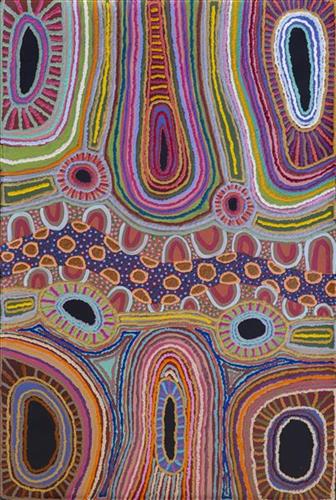
Mungili Waterholes and Rockholes

“No one goes there and sees that landscape. Only two, Mr and Mrs [refers to footsteps in painting]. They was walking to see if the water was in there. Walking on the creek sand, they see the colours and walk down to the water hole and dig where the waters been left. Dig the creek sand where there is still water. Little huts where they sit; move when it dries out. Leave remembrance behind. When the water fills up again; come back.

When the creek sand is still moist you can see the colours. You can see many colours – lovely colours come out. I do that in my mind [when painting], go and think about the rock colours there.

Different plants, water runs, and different plants are growing, different seeds. When it rains, all year round, when its overflowing. It’s all connected. The orange sand connects to one waterhole full of water, then flowing through the creek sand. This side down [pointing to one rock hole]; and it’s a bit up [pointing to another rock hole].

I was swimming there. Yeah, we go visit them a long time [ago]. We drink it, rainwater from the rain. Big waterhole. It’s a fresh water, when the rain comes, fills it up. One for swimming and another rock hole for drinking. 3 rock holes; another is special.”

– Marlene Anderson

In this work Marlene depicts a waterhole and rock hole located in Mungili, the small outstation community located just off the Eagle Highway in Western Australia, approximately 430 kilometres northeast of Wiluna and 250 kilometres north of Warburton. Marlene grew up in Mungili, and as such it forms a significant part of her ‘ngurra’ (home Country, camp). Typically Marlene depicts this site with a central large circular form that represents the main waterhole, surrounded by smaller circular forms representing satellite water bodies.

During the pujiman (traditional, desert dwelling) period, knowledge of water sources was critical for survival, and today Martu Country is still defined in terms of the location and type of water. Each of the hundreds of claypans, rockholes, waterholes, soaks and springs found in the Martu desert homelands is known through real life experience and the recounting of Jukurrpa (Dreaming) narratives by name, location, quality and seasonal availability. This encyclopedic knowledge extends even to the nature and movement of arterial waterways, and sustained Martu as they travelled across their Country, hunting and gathering, visiting family, and fulfilling ceremonial obligations. They would traverse very large distances annually, visiting specific areas in the dry and wet season depending on the availability of water and the corresponding cycles of plant and animal life on which hunting and gathering bush tucker was reliant.

111582428786


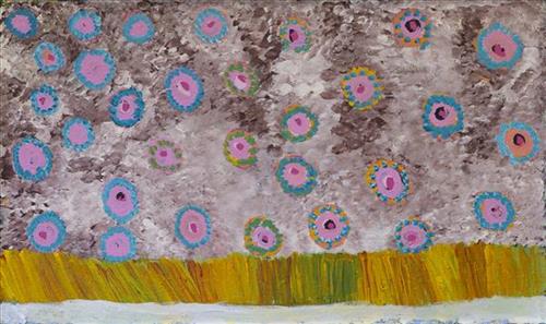
Puntawarri

“All around is sandhills and lakes on every side. You can see the grass, but the lakes are all dry. In the middle is Puntawarri waterhole. That’s the jila (snake) place, two jila. They nyupa (spouses), they darlings, man and woman. They sleeping near to Puntawarri. It’s a hole in the ground- that jila will come out of the ground and all the dust will go everywhere. All the dust going everywhere, the dust that flies up when the jila flies up out of its hole. The jila isn’t in that place anymore. It’s gone now but that jila used to stop there.” 

 – Helen Dale Samson

Puntawarri is an important cultural area located on the middle stretches of the Canning Stock Route and east of the Jigalong Mission (now Jigalong Aboriginal community). It is also the site of an abandoned community, a waterhole, creek and lake. Puntawarri’s close proximity to Jigalong Mission made it a popular site for Martu to visit during the ‘mission days’. Dale was born at Jigalong Mission, and continues to live in the community now located there today. Though she grew up in the dormitory at Jigalong, she spent her weekends and holidays in the bush, camping at sites such as Puntawarri with her extended family. Once married, she lived around Puntawarri, walking and hunting in the surrounding Country.

For many Martu, like Dale’s family, Jigalong Mission was the site where their pujiman (traditional, desert dwelling) lifestyle came to an end from the late 1940s as they transitioned to a life as stockmen and women working in cattle stations in the Pilbara region and beyond. In the wake of the extreme and prolonged drought of the 1960s, the last of the remaining pujimanpa (desert dwellers) were forced to move to missions like Jigalong, where a supply of food and water was assured. There, many Martu were reunited with family members that had already moved in from the desert.

The waterhole at Puntawarri is said to be populated by several kinds of ancestral jila, as referred to by Dale in her account. However the site is best known for its association with the Ngayurnangalku, fearsome ancestral cannibal beings. During the Jukurrpa (Dreaming) the Ngayurnangalku came together from all over the desert, first stopping near Puntawarri on their travels to Kumpupirntily (Kumpupintily, Lake Disappointment). At Kumpupirntily, they had a big meeting to debate whether or not they would continue to live as cannibals, and eventually came to the decision to stop eating people. That night, a female baby cannibal was born to the eastern Ngayurnangalku on the red sandhills at Puntawarri, where she continues to live today as the ‘big mummy’ Ngayurnangalku. Following protocol, the baby also had to be consulted by the group. She determined that the Ngayurnangalku should continue to eat people. Her decision divided the group, and from this point the group from the east continued to live as ‘bad’ cannibals at Kumpupirntily, while the group from the west became ‘good’, thereafter consuming only animals.