377815582417543

Nyangumarta Warrarn (Country)
“This painting represents the rocky outcrop and all the different areas of claypans, and the dark area represents all the jurnga (sands) in the cool time, warri. All the light yellowish colour represents the paru (spinifex).
I like to go out working with the rangers and all the elders. I go out Country with them and they show me all the places, all mapped out with GPS. We mark out all the other places for next time. Sometimes I go out in the ranger’s vehicle and walk around the Country and look around for goanna holes. We try to keep an eye on the animals, look out for all the bilby and skinks and everything with the Nyangumarta Rangers. I go in my spare time because I’m busy you know, I’m busy with my artwork and council meetings.
In the cool dry time, when it’s a little bit warm and cool in the morning, that’s when we do the fire patch burning. When we doing it also depends on the wind, the warngal, which way it’s blowing. We do that because it’s a big part of controlled fires. Wild fires, we don’t want them, they destroy the animals and their living area, destroy the Country. We do it too for the regrowth. When I went back to Country a couple of weeks ago, all the burned up area had a little bit of regrowth after a little bit of rain.”
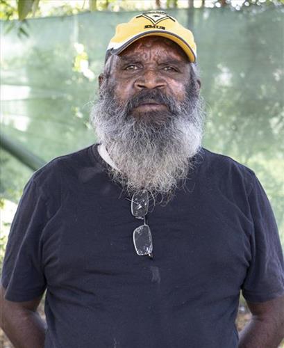
– Edward Badal
This artwork honours Nyangumarta Country — from the long sweep of Eighty Mile Beach and coastal flats to the rolling sand dunes and salt lakes of the Great Sandy Desert. It holds the movement between saltwater and desert: tides, reefs and mangroves to the west; dunes, claypans and waterholes to the east.
Lines flow like wind across spinifex and waves in the ocean; dots gather where waters sit after rain; colours shift from deep blues to desert reds and whites of saltpan. The painting also reflects the ongoing work of Nyangumarta families and rangers to look after Country — sea and land — guided by community plans and Indigenous Protected Area management.